(Kayamping trip Guide)
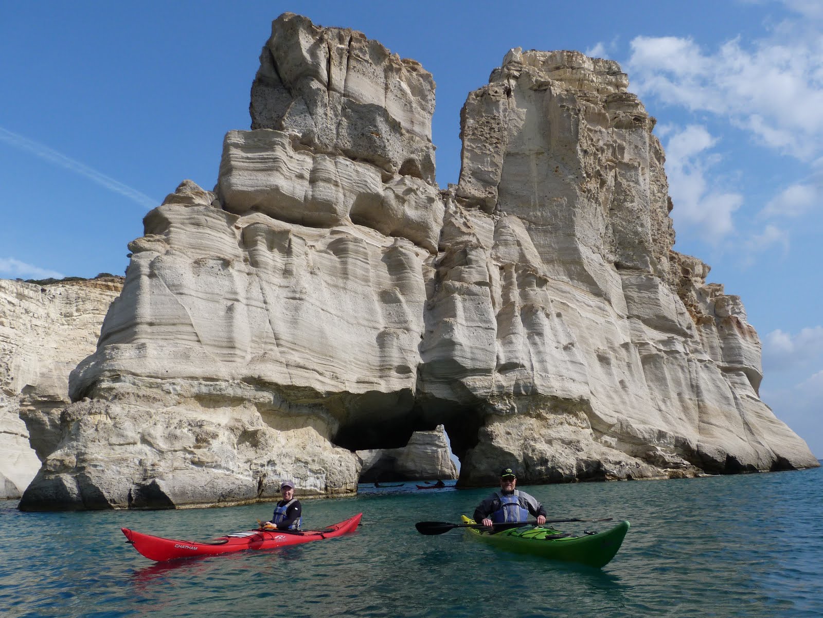
Когато става дума за хубави плажове, една от световните топ дестинации е Лефкада и по- точно западната и част. Дълго време си мечтаех за каямпинг трип на този средиземноморски остров, но разтоянието от Варна до Лефкада което е над 1200 километра все се явявяше сериозен възпиращ фактор.
Най-накрая меракът победи всичко друго и след дълго 19 часово пътуване успяхме да видим с очите си и усетим с всичките си сетива прекрасните плажове на западна Лефкада.
Перфектно нацелихме най-добрия период от годината за каяк трип на Лефкада - края на септември и началото на октомври. В този сезон тълпите летовници вече ги няма и повечето плажове са почти пусти.
Поне в началото имахме късмет и с времето.